
TVCG · Journal
★ 10 Years VAST Test-of-Time Award
Visual Exploration of Big Spatio-Temporal Urban Data: A Study of New York City Cab Trips
Nivan Ferreira, Jorge Poco, Huy T. Vo, Juliana Freire, Claudio Silva
How people and vehicles move through cities, from taxi trips to intersection cameras
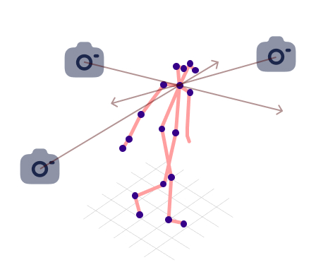
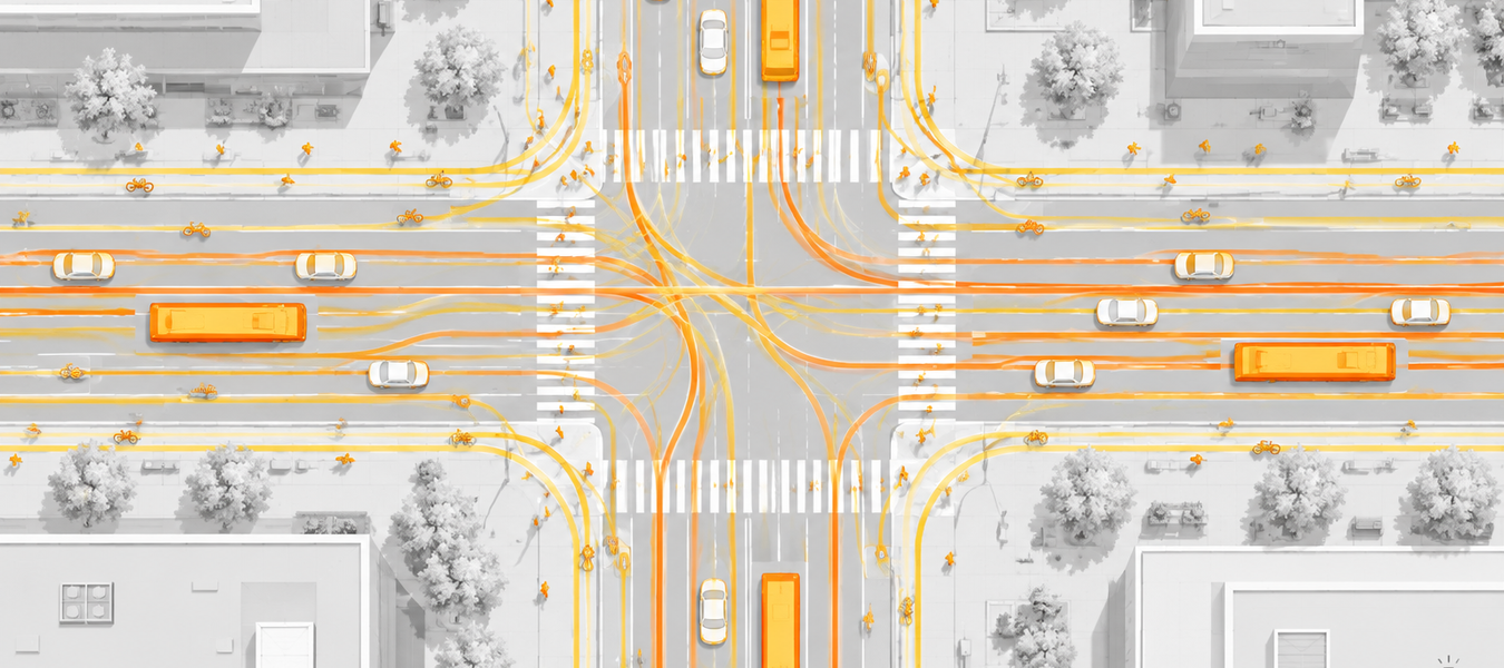
Urban Mobility develops visual systems to analyze how people and vehicles move through cities. The line began with the analysis of New York City taxi trips (TaxiVis) and vector-field models of traffic dynamics, continued with the exploration of traffic jams (JamVis), and now focuses on sensing urban intersections directly: UrbanClipAtlas retrieves events and scenes from long street-level videos with vision-language models, and our 3D reconstruction work recovers pedestrian pose, trajectories, and walking speed from roadside cameras to support traffic-safety assessment. This work is developed in collaboration with the VIDA group at New York University.






Nivan Ferreira, Jorge Poco, Huy T. Vo, Juliana Freire, Claudio Silva

Juliana Freire, Claudio Silva, Huy T. Vo, Harish Doraiswamy, Nivan Ferreira, Jorge Poco

Jorge Poco, Harish Doraiswamy, Huy T. Vo, João L. D. Comba, Juliana Freire, Claudio Silva


Joel Perca, Luis Sante, Juanpablo Heredia, João Rulff, Claudio Silva, Jorge Poco