

Spatiotemporal Analytics
General visual analytics techniques for data that change over space and time
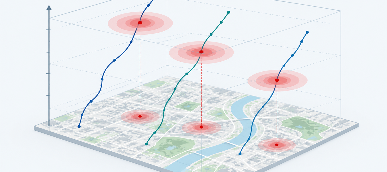
Spatiotemporal Analytics develops domain-independent techniques for exploring georeferenced data that evolve over time, the common substrate of our work on crime, mobility, climate, and the environment. MoReVis produces compact visual summaries of moving regions such as storms; STRive mines association rules over spatiotemporal categorical data and lets analysts navigate them on maps and timelines; ManyWaves applies the graph wavelet transform to multivariate georeferenced time series to find events that co-occur across variables, space, and time; and MineTracker tracks the emergence and growth of individual mining sites in the Amazon. Our anomaly-explanation work combines graph representations of space with large language models to turn detected deviations into narratives an analyst can verify. These techniques are then specialized inside the domain projects.
Researchers
-
 Jorge Poco FGV EMAp
-
 Juanpablo Heredia FGV EMAp
-
 Mauro Diaz FGV EMAp
-
 Leighton L. Estrada FGV EMAp
-
 Joel Perca FGV EMAp
-
 Luis Sante FGV EMAp
-
 Giovani Valdrighi IC-UNICAMP
-

In collaboration with
-

-
 Nivan Ferreira UFPE
-

Publications

C&G · Journal
STRive: An association rule-based system for the exploration of spatiotemporal categorical data
Mauro Diaz, Luis Sante, Joel Perca, João Da Silva, Nivan Ferreira, Jorge Poco


SIBGRAPI · Conference
★ Best Paper Award in Visualization
Interactive Exploration and Explanation of Spatiotemporal Anomalies with Graph-LLM Integration
Juanpablo Heredia, Leighton Estrada-Rayme, Jeremy Matos-Cangalaya, Jorge Poco

ACM TIST · Journal
GroundSTory: Interactive Storytelling for Grounded Spatiotemporal Anomaly Explanations with Graphs and Large Language Models
Juanpablo Heredia, Leighton Estrada-Rayme, Jeremy Matos-Cangalaya, Jorge Poco
